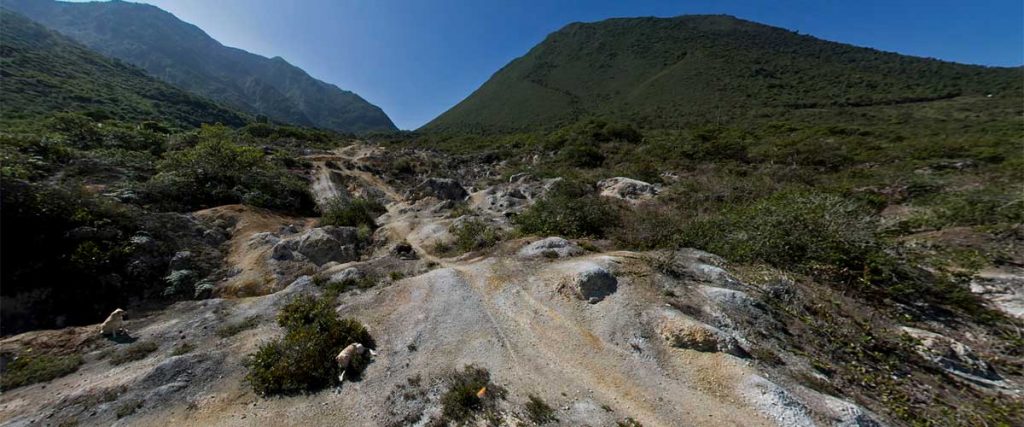
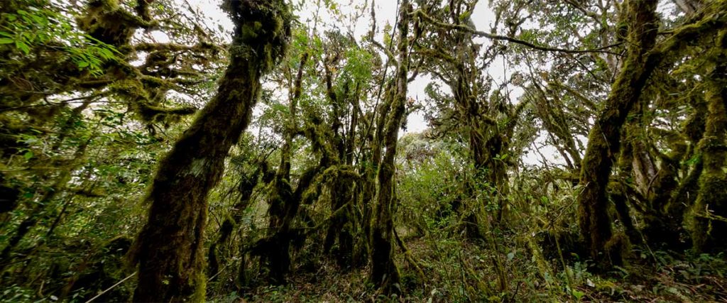
This extinct volcano offers many trails that take you through different ecosystems from the panoramic, inter-Andean valley, to the rainy cloud forest.  Most of these trails have been established by the people that habituated this 2500 yr old crater.

The following trail map can guide yourself through the crater.  You will also find gpx routes below the maps on the trail descriptions.

El Chivo Trail

This well maintained trail goes past El Chivo (The Goat), which is a lava dome, then continues to higher mountain where the fog meets the paramo to produce year round water run-offs that provide water to the crater valley.  Allow 2 hours.

Pondoña Hill

This trail takes you near the top of the Pondoña, a lava dome formed 300 years after the eruption.  It is in the middle of the crater providing you a view of the crater valleys. Allow 3 hours.

I use this tracks with my Android Phone and the App named GPX  VIEWER.
Please right-mouse-click below and select “save link as” to save this file.

Hot Water Springs

This trail takes you around the Pondoña hill, a lava dome, and down to a small natural  hot water springs surrounded by a rainy cloud forest.  There is also a small river nearby and abundant vegetation. Allow 4 hours.

I use this tracks with my Android Phone and the App named GPX  VIEWER.
Please right-mouse-click below and select “save link as” to save this file.

Lulumbamba Circle

A perfect nature hike for those who are looking for a challenge through the cloud forest.  There are great views, a great variety of orchids, bromeliads and fern trees.   Allow 6 hours.

I use this tracks with my Android Phone and the App named GPX  VIEWER.
Please right-mouse-click below and select “save link as” to save this file.

Click Below to experience a 3D Tour ↓

>